
History · Walk
The last of the city walls, in 40 minutes
Galway was a walled town for 500 years. Two big pieces survive, plus a castle, a hall and a church you can touch. A loop from the Spanish Arch.
Gaillimh3 November 2026 · 5 min read
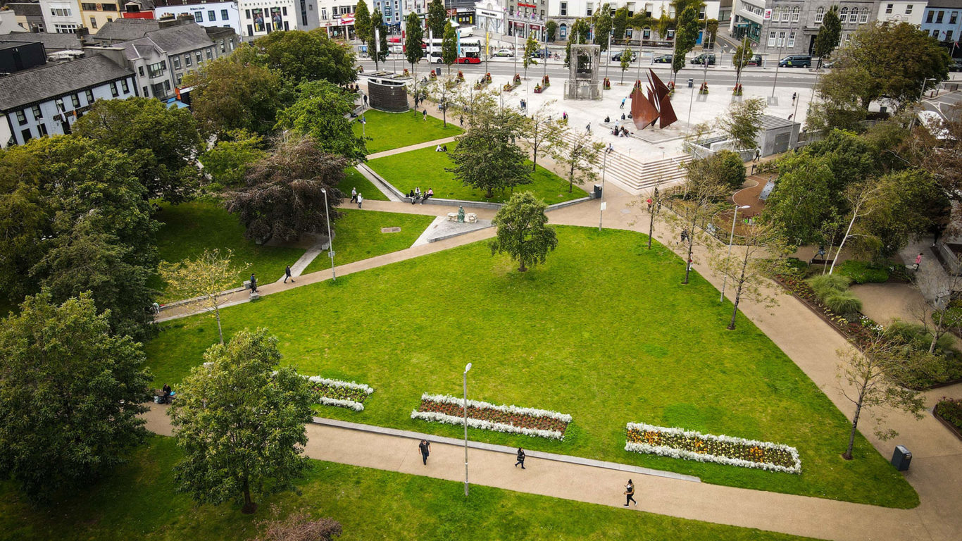
The walls went up from 1270, paid for by a tax on the merchants, under Walter de Burgo. They ran 1,325 metres around eleven hectares, with five gates and at least five towers. By the late 1700s they were being pulled down as the town spread to Eyre Square and the docks. The street plan inside them is what you walk today. The walls themselves survive in two places.
1 · Spanish Arch
Start here. The name is a later invention. This is Ceann an Bhalla, the head of the wall, a 1584 extension built out to the river to protect the quays where the wine came in. There were four arches and two stand. The tsunami that followed the 1755 Lisbon earthquake took a piece of it. A plaque found buried here records repairs to the sea wall in 1647. The City Museum next door has the 1651 pictorial map that shows the whole circuit.
2 · Hall of the Red Earl
Up Quay Street, left into Druid Lane. Under glass are the footings of the hall Richard de Burgo, the Red Earl, built around 1300 as the town’s seat of power, found during Revenue office works in 1997. Free to look at from the walkway.
3 · St Nicholas’ Collegiate Church
Cross Street to Church Lane. Begun 1320, the largest medieval parish church in Ireland still in use. Look for the Joyce tomb (mis-titled, according to the historians) and the mermaid carving.
4 · Lynch’s Castle
Shop Street at Abbeygate Street. A merchant’s tower house of about 1500, now a bank, the best-preserved fortified town house in the city. Gargoyles and the Lynch and FitzGerald arms on the front. Blake’s Castle, older again, is back down Quay Street at the corner of the museum car park.
5 · Eyre Square Centre
Through William Street into the shopping centre and down the escalator. Sixty metres of the original eastern curtain wall, with Penrice’s Tower and the Shoemaker’s Tower rebuilt to full height, excavated before the centre was built in the 1980s. This was the first stretch built, because the east side had no river to defend it. Information boards along it tell the story. It is the most substantial piece of the wall left, and most people walk past it to Penneys.
Back to the Arch
Out onto Eyre Square, down Merchants Road and Flood Street to Spanish Parade. The full loop is about 1.8 km. Our Medieval Walls Loop has the route and the points marked.
The wall in numbers
- Built
- From 1270, Walter de Burgo
- Length
- 1,325 m around 11 ha
- Gates
- Five: three land gates, two quay gates
- Survives
- Spanish Arch (1584 extension) · 60 m and two towers in the Eyre Square Centre
- Gone by
- Late 18th century